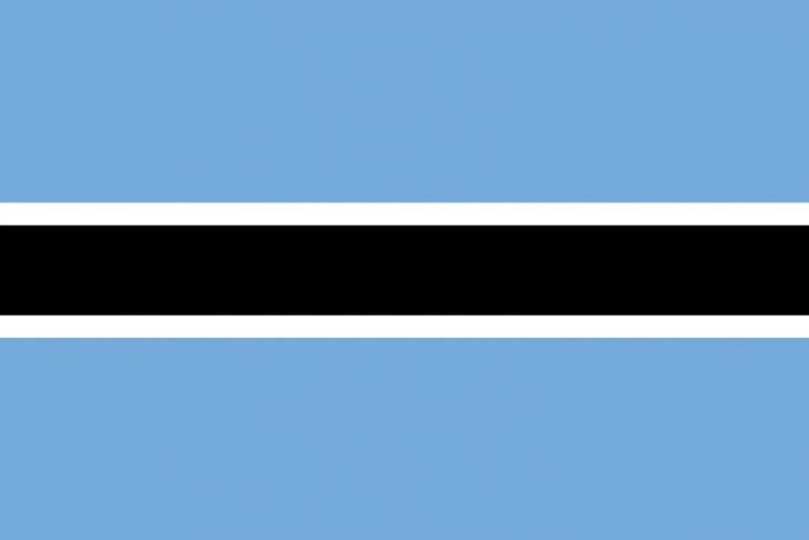
+267 is the dialing code for Botswana.
Botswana is often described as an African success story. At independence from Britain in 1966, the country was one of the poorest in the world. Thanks to rich diamond deposits and functioning democracy, Botswana has developed into a middle-income country. However, many residents still live outside the formal economy, often from livestock management.
Geography and climate
Botswana, which on the surface is one third larger than Sweden, lies on the high plateau in southern Africa. The country has an average altitude of about 1,000 meters above sea level and lacks coast. The vast area of Kalahari, which mainly consists of the peninsula, covers at least two-thirds of Botswana.
The landscape of Botswana is quite flat, with cliffs here and there. In the eastern third of the country there are low cliffs and savannah landscapes. Here the earth is more fertile and here live four out of five residents. In Kalahari in the southwest, grass and shrub vegetation grows. A thick layer of sand, at a distance of more than 100 meters, covers a large part of the ground.
In the northwest lies the world’s largest inland delta, formed where the Okavango River flows. The river flows from the highlands of Angola and through a narrow country corridor that belongs to Namibia, the Zambezi Strip (formerly the Caprivi Strip). Okavango and the Chobe/Linyanti border rivers (towards Namibia in the north) and Limpopo (towards South Africa in the southeast) are the only major watercourses in the country that never dry out.
National parks and animal sanctuaries make up one fifth of Botswana’s surface.
Country Facts
Geography
| Cultivated land | 45.8 % |
| Land area | 581730 km 2 |
Population and health
| Population development | 1.21 ‰ |
| Urban population (Urbanization) | 57.4 % |
| Death rate | 13.39 per 1000 residents |
| Life expectancy: Women | 52.33 years |
| Life expectancy: Men | 55.97 years |
| Birth rate | 20.96 births per 1000 residents |
| HDI index | 0.698 |
| Population | 2182719 |
| Infant mortality | 8.93 deaths / 1000 births |
Energy
| Electricity, production | 235 million kWh |
| Energy consumption per resident | 1014.5 kg. oil per resident |
| Natural gas, production | million cubic meters |
| Crude oil, production | million tons |
Infrastructure
| Internet users | 13.2 per 100 residents |
| Mobile subscriptions | 158 per 100 residents |
| Passenger cars | 133 per 1000 residents |
Business and economics
| Unemployment | 17.8% of the workforce |
| GDP | 16400 per resident |
| Primary occupations | % |
| Secondary profession | % |
| Tertiary professions | % |
The climate is predominantly semi-arid subtropical, with warm winters and hot summers. The rainy season starts in October and is over in April.
It rains more in the north than in the south. It is the driest in the southwest while the north-east receives the most rain. The whole country is sometimes affected by severe drought.
FACTS – GEOGRAPHY
Surface
581 730 km2 (2018)
Time
Swedish +1 hour
Adjacent country (s)
Namibia, Zambia, Zimbabwe, South Africa
Capital with number of residents
Gaborone 227,000
Other major cities
Francistown 102,000, Molepolole 69,000, Mogoditshane 61,000, Maun 56,000 (Census 2011)
Highest mountain
Tsodilo (1,489 m asl)
Important rivers
Chobe/Linyanti, Okavango, Limpopo
Largest lake
XAU
2016
March
Success for gays
March 16
An appeals court ruled that the government was wrong when it refused to register an organization for sexual minorities. In Botswana, homosexuality is seen as a prohibited act and can be punished with imprisonment for up to seven years, but the court finds that freedom of organization weighs most heavily in this context.
